Case study: City of Bad Hersfeld, Germany

holistic approach
The conference and spa city of Bad Hersfeld has implemented a digital first strategy supported with the [ui!] UrbanPulse open data platform. Located in the physical centre of Germany and a hub for rail and road logistics, Bad Hersfeld has a resident population of 30,000 which swells with an additional 100,000 visitors each year (and in 2019, for the Hessentag festival, this was 800,000 visitors). City issues include air quality, congestion, parking, security, visitor management and noise.
Previously traffic, environmental, lighting sensors and systems collected and stored data in siloes and in third party systems. In addition, residents were asked to capture data such as noise nuisance on their smartphones. This meant that City strategy planning and enforcement actions did not have a real time overview of all available data. The City did not own or manage all of its own data and that cost of bringing data together could only grow into the future.
To create a holistic approach, Bad Hersfeld changed their procurement policy to require all municipal purchases to include tender qualification for data management through their open City platform. This means that all new sensors, systems and city data will be connected to the open City platform. Where possible it connected existing sources of data as well as building analytics reports and visualisation dashboards with [ui!] COCKPIT.
Now noise and climate information is collected, analysed and visualised on the [ui!] UrbanPulse central data platform by environmental sensors distributed throughout the town. This enables a clearer and near-real-time analysis of climate data. Through the [ui!] COCKPIT dashboards local data is also shared with residents.
The advantage for Bad Hersfeld of their approach lies in guaranteed data sovereignty, which means that the city can always decide for itself which data it wants to use.
data platform and visualisation
Challenge: Due to its central location in the middle of Germany, Bad Hersfeld has a high volume of traffic, especially from trucks of local logistics companies. Added to this, proximity to the motorway creates further issues from noise and exhaust emissions.
Goal: To collect, manage, analyse and process near real time traffic, environmental data from sensors, as well as other environmental, traffic, charging infrastructure and parking information to support city planning, environmental and traffic management actions.
To provide, as an added value, local business and residents with easy to understand and near real time information to support their own choices and actions.
[ui!] solution: In 2014 Bad Hersfeld implemented [ui!] UrbanPulse as the open data platform to bring together existing data and systems, and [ui!] COCKPIT as the data visualisation and dashboard tool. In addition, [ui!] supported the City to install and connect additional new fully integrated environmental and traffic sensors.
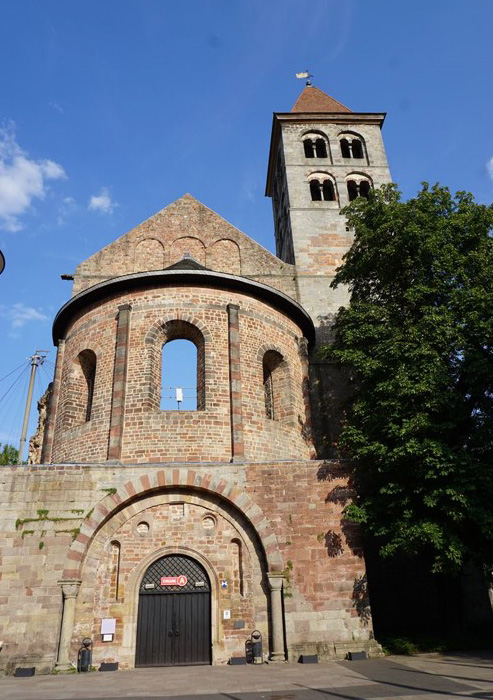
lighting historic monuments
Challenge: The nationally known festival of Bad Hersfeld takes place every year in the Abbey ruins. Street lighting in the area needs to address security, visitor management as well as lighting quality suitable to demand (including variable time of night, actual light levels, number of visitors) and manage energy costs.
Goal: To light the area with intelligent street lighting, controlled according to demand, which offers visitors to the festival in and around the Abbey ruins more security and further added value.
[ui!] solution: [ui!] ULI installed new luminaires with Smart Lighting components and equipped them with suitable sensors. Public WLAN was provided from devices installed on the light posts. Video cameras monitor specific sites if required, and announcements can be made to visitors via integrated speakers. The data from lighting, environmental and security sensors is brought together, managed and processed on [ui!] UrbanPulse.
managing festival traffic
Challenge: Bad Hersfeld hosted the Hessentag festival in 2019. With visitor numbers of 800,000 over ten days the City set up a control centre to manage traffic, parking and security.
The City set up a control centre for the 10-day event, where all data critical to the safe and smooth running of the event was collected, analysed and visualised in order to obtain a central overview and to act if necessary.
Goal: To support the control centre with gathering, managing, analysing and reporting real time integrated data across multiple sources and to provide visualisation dashboards for both city operators, residents and festival goers.
[ui!] solution: Built on data managed by [ui!] UrbanPulse and using [ui!] COCKPIT a bespoke [ui!] Festival COCKPIT was developed to provide innovative 3D representations of visitor flows, traffic situation, parking space occupancy and weather data were displayed in a central cockpit, which interactively provided the organisers and security forces with the data they needed to ensure a smooth event.
Non-safety relevant data was also displayed to the visitors in real time in a festival app, so that they were guided to the next available parking space as quickly as possible before arriving at the event. Numerous different data sources were connected and camera feeds integrated. These were displayed on several monitors in a cockpit in the control centre of the major event. Further, sensor-independent data sources were evaluated in order to monitor the approach routes and any traffic jams.